On this page
UNE for ArcGIS has several capabilities to help aid users with measurements. These tools can be found in the Measurements panel in the Wireframe Editor.
Coordinate display
Choose from a list of options to determine how coordinates will be displayed to an end user. Coordinates can be displayed as Lat/Long to any multiple decimal places, or coordinates can be displayed to Decimal Degrees/Degrees/Minutes/Seconds.
Coordinate systems
Add alternatives for coordinate input.
- Open the Measurements panel.
- Expand Coordinate Systems.
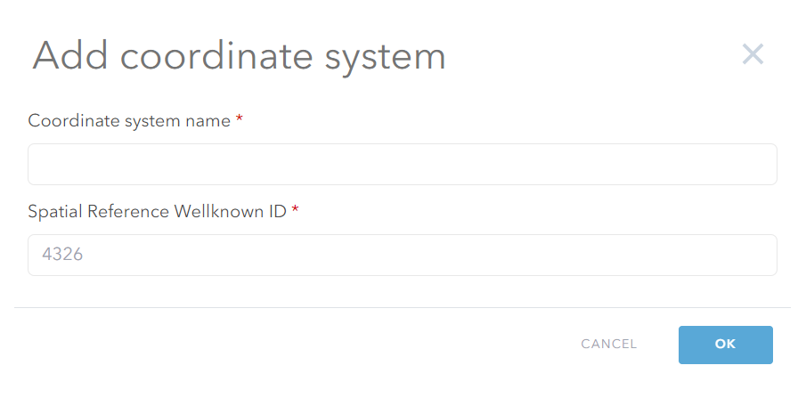
- Using the Add button, add a new coordinate system.
- Give the coordinate system an appropriate name and add the spatial reference ID.

Please be aware that this is an app wide setting and therefore would allow users to also choose from multiple coordinate systems if using coordinate input draw mode and plans functionality.
Distance and area settings
Distance and Area settings allow you to configure how measurement metrics are displayed. For both settings it is possible to determine the display units and display accuracy. Additionally, for Distance settings you can set whether distance calculations will be calculated using planar or geodesic.
Z enabled UNE
Height settings
The height setting allows you to configure how measurement metrics are displayed for height values. It is possible to determine the display units and display accuracy.
Measurement settings
Here you can choose whether the ruler should be available to an end user. You can also add a measurement service. Measurement services allow users to draw features which will only be viewable when the ruler is switched on by the end user. These features can be snapped to and traced.
- You can pick an existing feature service by using the Choose option.
- You can create a new measurement service using Create.
Z enabled UNE
Ruler mode
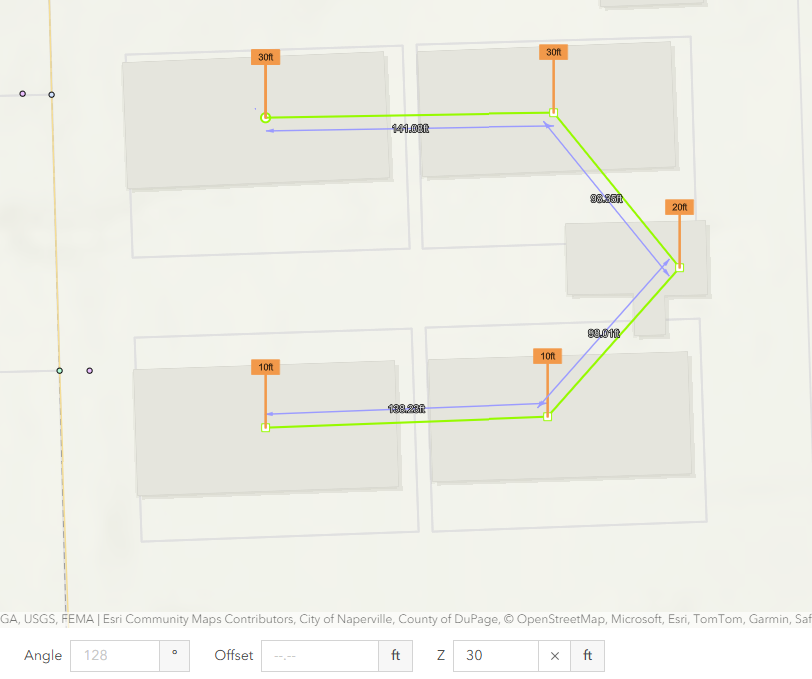
When digitising features and assigning Z values, the measurement tool will show inputted Z values for each vertex on screen.

